
Road Position Magic™ (RPM) is a web service that geocodes and then locates your crash reports for analysis.
Do all of your crashes occur right in the middle of the nearest intersection? On the sidewalk? In the ocean? We didn’t think so.
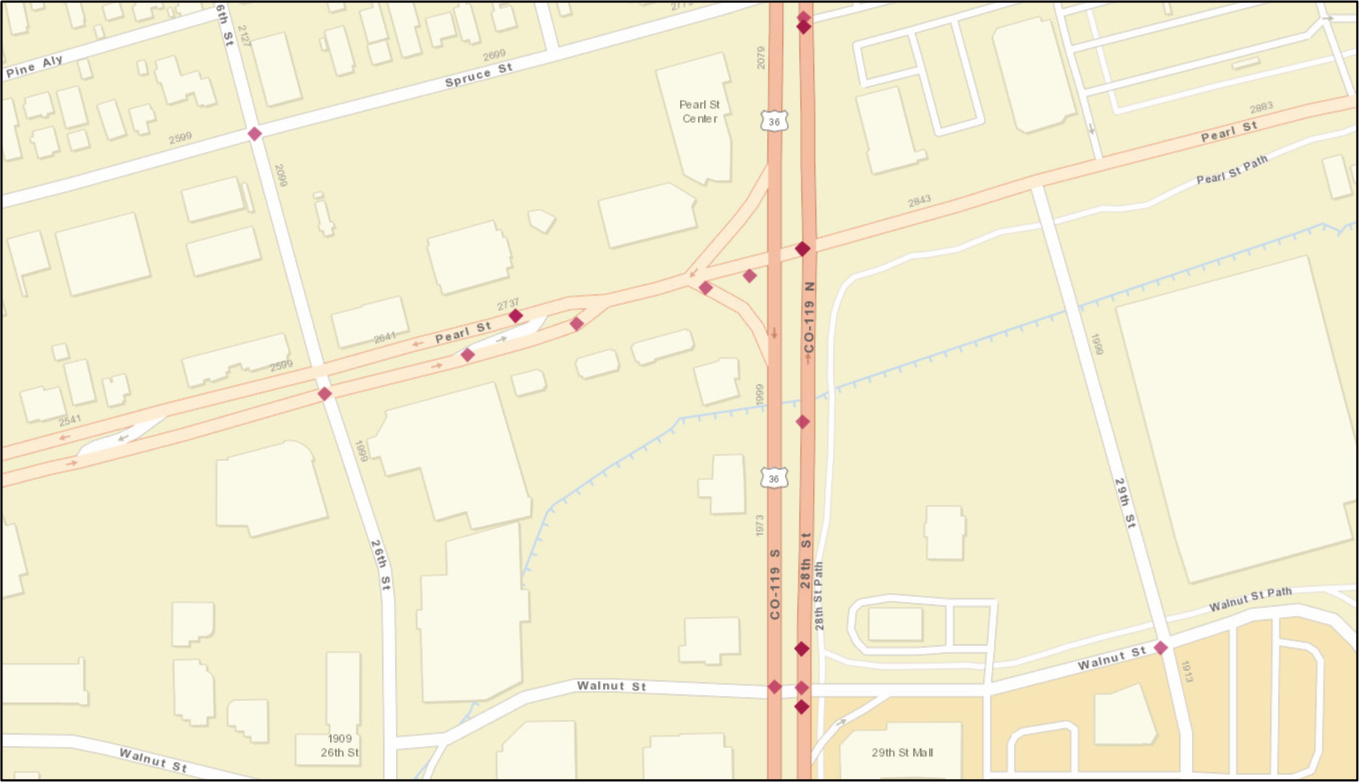
RPM starts by simply geocoding your crash to the nearest intersection using the primary and cross streets. But then it identifies the proper approach street using the direction from the intersection and it “walks” the crash coordinate along that street according to the distance from the intersection. Finally, it uses other crash and vehicle fields like type of collision and vehicle directions and movements to decide which side of the road to place the crash on whenever possible.
That is positioning the crash on the road. That allows for accurate analysis of crash locations. That is Road Position Magic!
What can Crash Magic do with accurate coordinates?
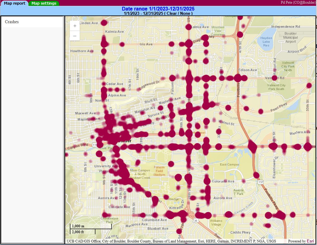
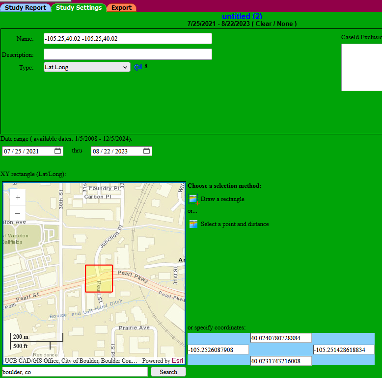
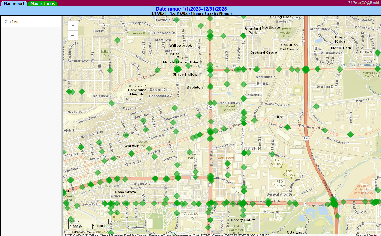
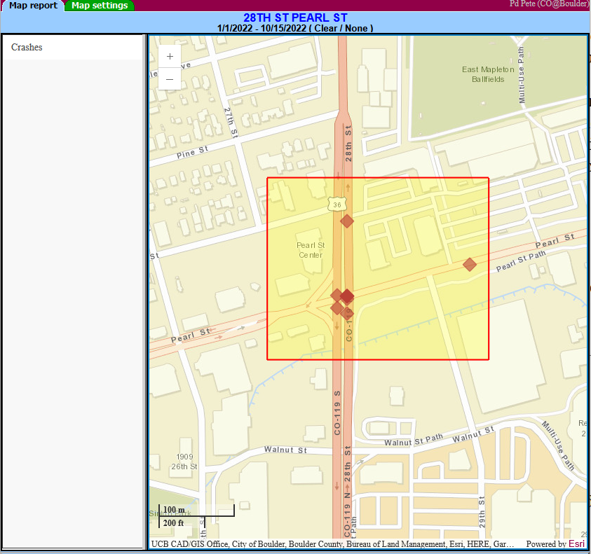
Click an image to display it in full-size
- Assign latitude and longitude values to crashes automatically – every night
- Locate using the street names along with the distance and direction from the nearest intersection
- Refine the already offset location utilizing fields such as direction, movement and type of collision
- Street name correction! Our geo-located crash data also contains standardized street and cross street names. Your crash data can use your existing names or these cleaned names for analysis purposes
- With the proper data it will even locate using street address, route and milepost or node / facility id
- Use the new built-in Pd’ GIS for geocoding
- Use your own in-house ArcGIS® Server for geocoding
- Microsoft, Oracle or PostgreSQL database support

The RPM locator has been in use by our Crash Magic clients for over 5 years. This latest version can use our very own Pd’ GIS for geocoding and locating the crashes. We can even provide the base map!
The system is complete and ready to use. While we’re improving it all the time, it’s ready to start locating your crashes today. No consulting work, project spin-up or custom coding. After licensing the service we configure the settings to your database and base map and turn it loose.
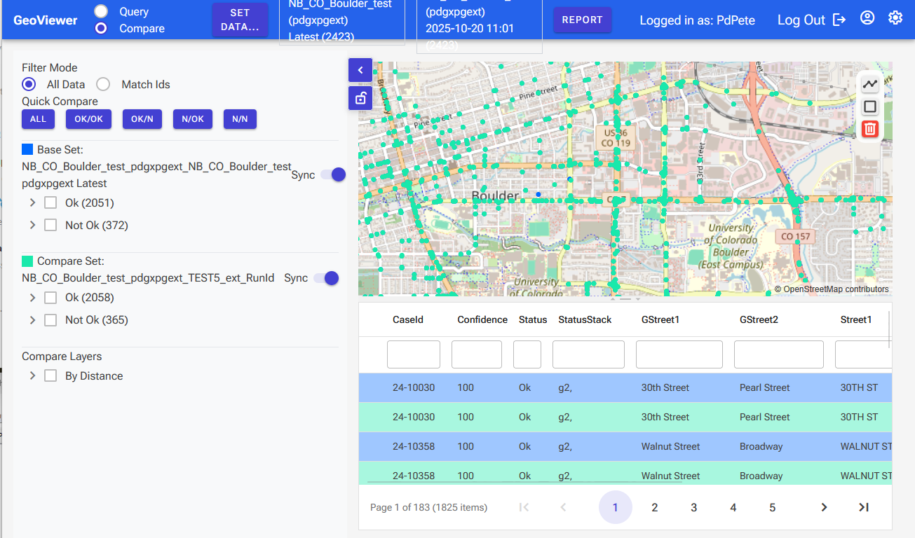
During the locating process, the system records the method(s) it used and the confidence that it has found the correct location. We’ve even created a utility for identifying mismatched locations, comparing coordinates across systems and helping to improve the process anywhere it falls down.
After an initial configuration and locating of your historic data, there is a simple flat fee for nightly location of all your new crash data. Set it and forget it.
| Estimated Road Position Magic cost | Price range for municipalities with populations of < 25,000 – 1M |
|---|---|
| First year crash locating*: using PdMagic GIS and road data | $3,500 – $18,000 |
| Continued annual locating | $3,000 – $10,000 |
| *Please ask for a quote to configure using your own road data or your in-house ArcGIS Server. |